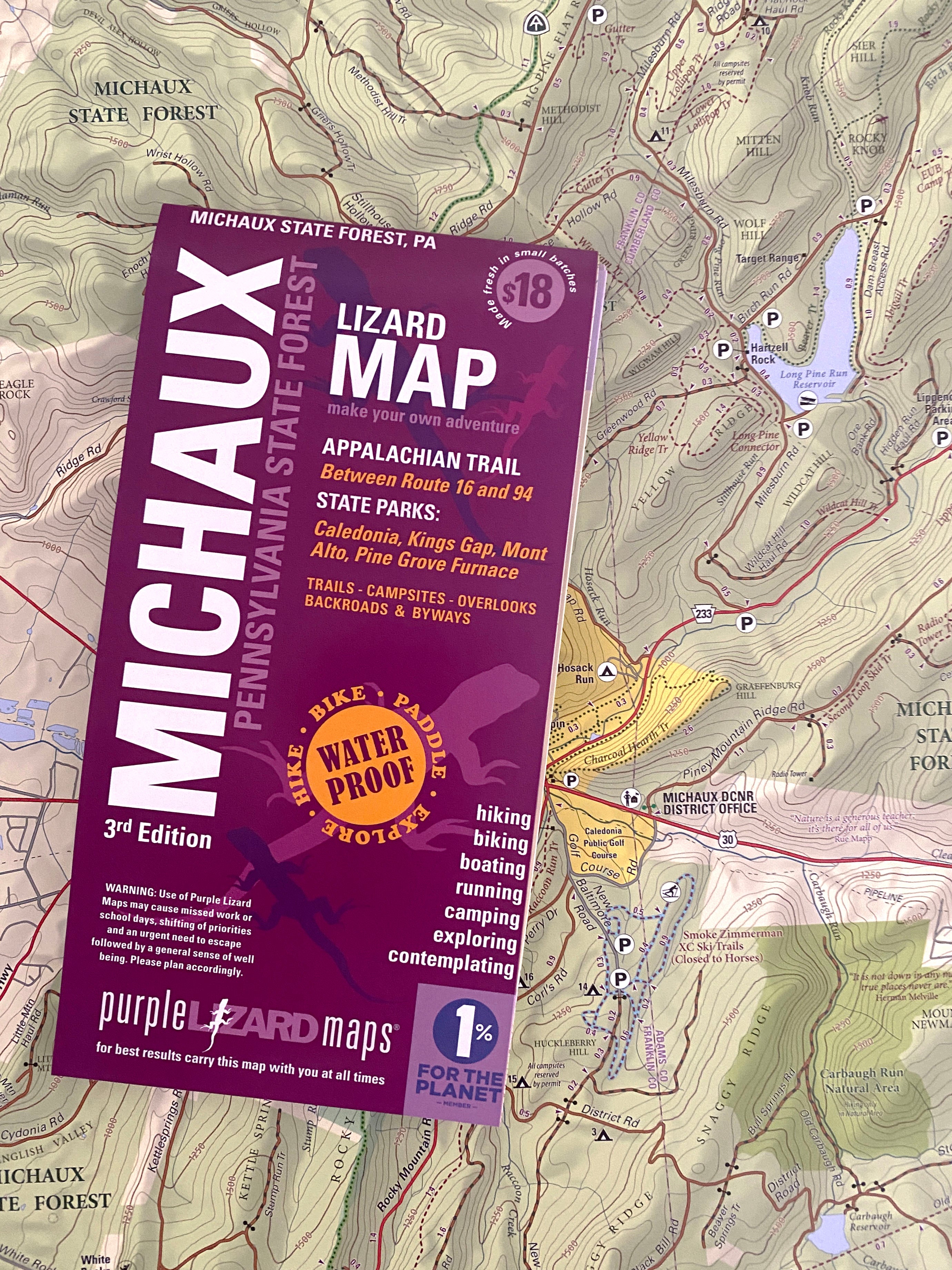
Michaux Lizard Map, Pennsylvania
The most comprehensive outdoor recreation map available of Michaux State Forest, trails, dirt roads, back roads. Everything you need to plan your adventure in Michaux State Forest. The Michaux Lizard Map will help you plan all your adventures in and around Michaux State Forest, one of the most popular outdoor recreation playgrounds in Pennsylvania. Michaux's 85,000 + acres of public land offers something for everyone! Your Michaux map was so awesome I ordered it for a friend. Amazing. Thanks! –Buzz in Maryland A beautifully designed, easy to read topographic map featuring contour lines, elevation data, shaded relief, and all the key details you need to plan your adventures: backroads and trails, trail use designations, road surfaces (paved/gravel/4wd), parking access, campsites, public lands, historic sites and more. The Michaux Lizard Map covers the northern region from Shippensburg to Mount Holly Springs and south to Biglerville and Waynesboro PA. Durable, waterproof, and gives y